Bangkok daily life · Parks and exercise
Bangkok Neighborhoods for Parks and Outdoor Exercise
Compare the exact park gate, walking route, crossings, opening hours, transport, shade, and air quality.
Reviewed July 31, 2026 · Later factual updates are dated within the guide
In this guide
If running, walking, cycling, or outdoor exercise is part of your routine, include park access in the housing search. Traffic, heat, crossings, and opening hours affect whether a park is practical for regular use.
The city offers several genuinely different park systems. Lumphini is Bangkok’s established civic exercise ground. Benjakitti combines a lake, an urban forest, wetlands, sports facilities, and long paths. Benjasiri delivers compact convenience beside Phrom Phong. The Chatuchak parks create a much larger northern green network. Suan Luang Rama IX and Nong Bon offer scale and space in the east, with more demanding transport.
This guide compares the neighborhoods that make those parks part of ordinary life.
Quick comparison
| Park system | Practical nearby areas | Suitable activities | Main compromise |
|---|---|---|---|
| Lumphini Park | Sala Daeng, Silom, Langsuan, lower Wireless Road, north Sathorn | Running, walking, group exercise, central access | Busy at popular hours; the correct gate matters |
| Benjakitti Park | Asok south, Sukhumvit 10 and 16, Queen Sirikit Convention Centre, parts of Khlong Toei | Longer routes, wetlands, skyline walks, cycling windows, dog park | Shade varies; access feels very different by gate |
| Benjasiri Park | Phrom Phong, Soi 24, the west side of Soi 39 | Short daily runs, courts, playground, quick walks | Small and busy; limited distance without repeating loops |
| Chatuchak park network | Mo Chit, Chatuchak, northern Phahonyothin, Lat Phrao edge | Cycling, shaded running, gardens, family outings | Large park area, but homes are rarely beside every entrance |
| Suan Luang Rama IX and Nong Bon | Prawet, eastern Srinagarindra, parts of Bang Na and Udom Suk | Long rides, large gardens, water sports, open space | Often easier with a car, taxi, or motorcycle |
Lumphini: central access and established exercise facilities
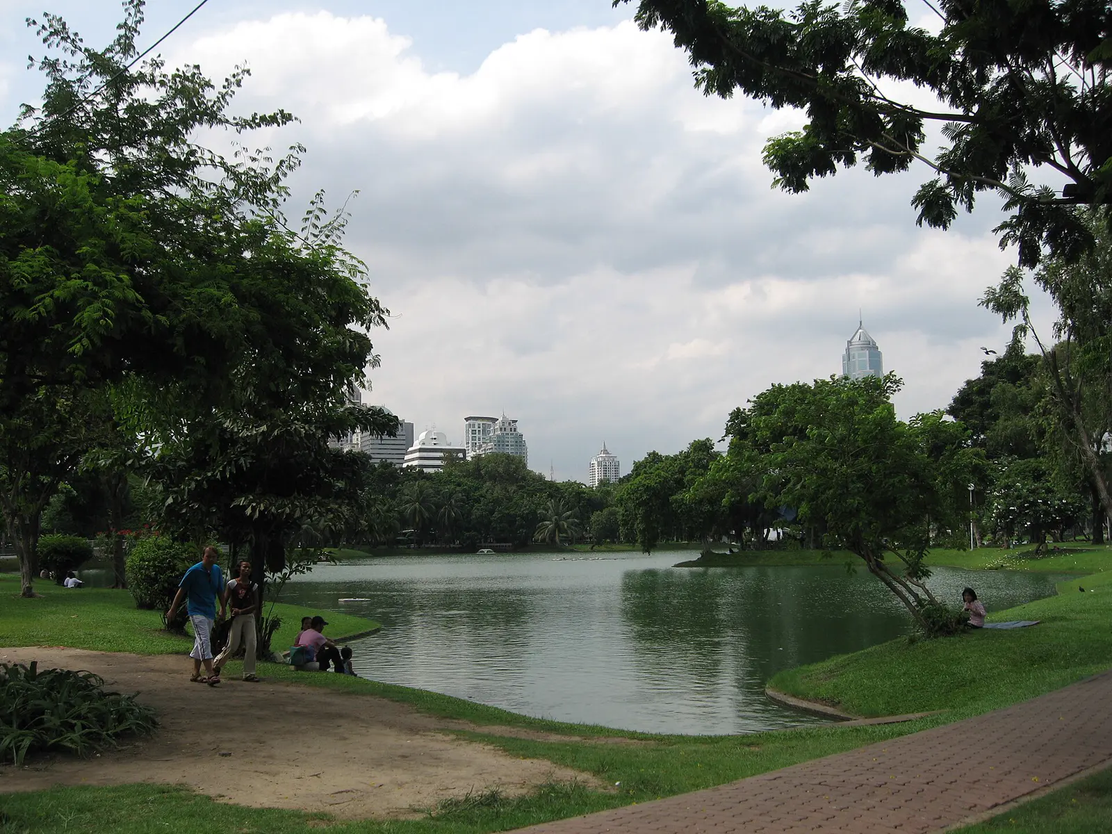
Lumphini is Bangkok’s first public park and remains one of its most useful. The Bangkok Metropolitan Administration lists walking, running, activity areas, playgrounds, facilities, and scheduled cycling hours. In practice, it functions as an outdoor community center before work and after sunset.
People run loops, walk in groups, practice tai chi, join aerobics, use outdoor fitness equipment, watch monitor lizards, sit by the water, and meet friends. That variety matters. A park used only for exercise can feel like equipment. Lumphini feels like part of the city.
The best surrounding areas
Sala Daeng and the east side of Silom provide direct access to the park’s southwest side, plus BTS and MRT. The area is dense, busy, and expensive, but the park can become an effortless daily habit.
Langsuan and the south side of Chit Lom work well for residents who can reach the northwest gates. Langsuan adds restaurants, hotels, residences, and access toward the Ratchaprasong shopping district.
Lower Wireless Road benefits from the park’s eastern side. It suits residents working around Wireless Road, One Bangkok, or Rama IV. It is a different proposition from living beside Phloen Chit BTS.
North Sathorn and the Sala Daeng edge offer park access with business-district convenience. Deeper Sathorn addresses may look close while requiring a longer road journey.
What to test
- the gate nearest the building;
- whether that gate is open at your exercise hour;
- road crossings between the lobby and the park;
- the route before sunrise and after dark;
- crowd levels during your normal workout;
- the walk home in heat or rain;
- storage and shower arrangements at home or work.
Lumphini’s operating details and activity rules can change. Use the official Greener Bangkok page before relying on a specific hour, locker, pet area, or cycling window.
Benjakitti: varied central park facilities
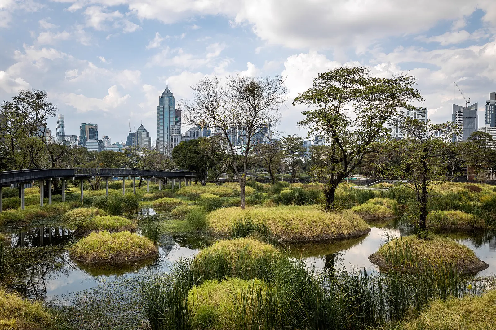
Benjakitti is larger, newer in form, and more varied than many newcomers expect. Bangkok’s official park page lists a 5.8-kilometer nature walk, a 2.8-kilometer running route, a 3.4-kilometer cycling route, a 1.6-kilometer skywalk, playgrounds, indoor sports, a registered dog park, and other activity areas.
The park includes the older lake area and the forest park built across former tobacco-factory land. Wetlands, raised walks, open lawns, water, old trees, sports facilities, and skyline views create several different experiences within one system.
The best surrounding areas
Sukhumvit Soi 10 can provide unusually direct access from lower Sukhumvit. The tradeoff is proximity to the nightlife and hotel economy around Nana and Asok. Inspect the entire evening route.
Sukhumvit Soi 16 and the south side of Asok work well for residents who want BTS, MRT, offices, restaurants, and park access in the same weekly system. Traffic and building noise still vary by block.
Queen Sirikit National Convention Centre and the Ratchadaphisek side offer the most natural access for parts of the forest park. MRT may be more useful than BTS here.
Khlong Toei and the Rama IV edge can place residents closer to the southern and western parts of the park, often with more local daily life and a different housing market from Sukhumvit.
Do the gate test. Benjakitti is large enough that “beside the park” can describe several very different commutes.
Benjakitti and Lumphini together
An elevated green connection links the two central parks. It expands the potential walking and running network and avoids several street-level conflicts. Access points or temporary closures can change during construction and maintenance, so verify the route in person before basing a long run or housing decision on it.
For many runners, the combined system is the best central-Bangkok option. For someone seeking mature shade and group activity close to home, Lumphini alone may still feel better.
Phrom Phong and Benjasiri: small park, exceptional convenience
Benjasiri sits directly beside Phrom Phong BTS between Sukhumvit sois 22 and 24. The official park listing describes a 29-rai space with jogging, sports areas, a playground, sculptures, fountains, bathrooms, and other facilities.
Its strength is frictionless access. A resident in the right part of Phrom Phong can finish work, leave the mall, enter the park, exercise, buy groceries, and walk home without arranging transport.
Its weakness is size. Runners repeat short loops. Peak periods can feel busy. Road noise and surrounding towers remain present. This is a useful daily neighborhood park that keeps the city firmly in view.
Choose Phrom Phong for Benjasiri when you value:
- short, frequent workouts;
- a playground or courts near home;
- BTS and mall-connected errands;
- an evening walk that requires almost no planning;
- access to restaurants, groceries, clinics, and services around the same station.
Choose a larger park system if long uninterrupted routes, cycling, deep shade, or a stronger feeling of distance from the street define your routine.
Chatuchak: a large northern park network
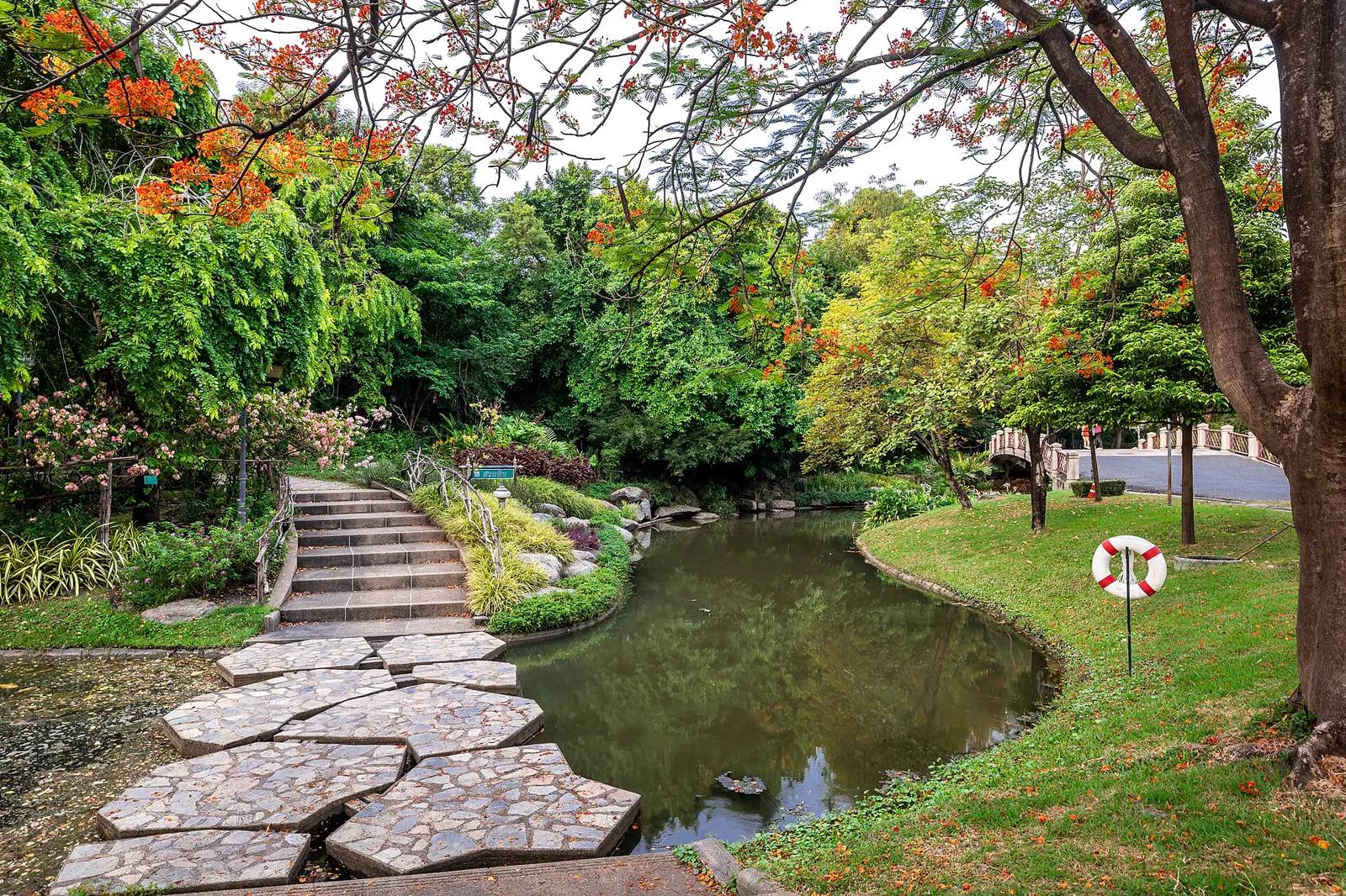
The green area north of central Bangkok includes Chatuchak Park, Queen Sirikit Park, Wachirabenchathat Park, commonly called Rot Fai Park, and adjacent spaces. Together they offer far more variety than a single oval on a map suggests.
Bangkok’s official page describes Wachirabenchathat as a 375-rai park with walking, running, cycling, playgrounds, sports facilities, water activities, family attractions, and broad shaded areas. Queen Sirikit Park emphasizes botanical collections and quieter garden walks. Chatuchak Park sits closest to BTS Mo Chit and MRT Chatuchak Park.
The best surrounding areas
Mo Chit and Chatuchak provide the most obvious rail access. The immediate area includes offices, roads, weekend-market traffic, and large developments, so street conditions deserve as much attention as the park.
Northern Phahonyothin can balance the park network with malls, offices, transit, and local neighborhoods. Exact walking routes are fragmented by major roads.
The Lat Phrao intersection edge has MRT and mall access, with connections toward the parks. It should be tested as a trip rather than assumed to be a pleasant walk.
Ari and Saphan Khwai offer attractive neighborhood life and relatively easy transport north. Most addresses still require a short train or road journey to the park gates, so describe Ari as an access base rather than park-side living.
The network rewards cyclists, families, runners who value shade, and anyone who wants several outdoor environments. It is less convincing if reaching the preferred entrance requires a taxi each time.
Suan Luang Rama IX and Nong Bon: choose space over centrality
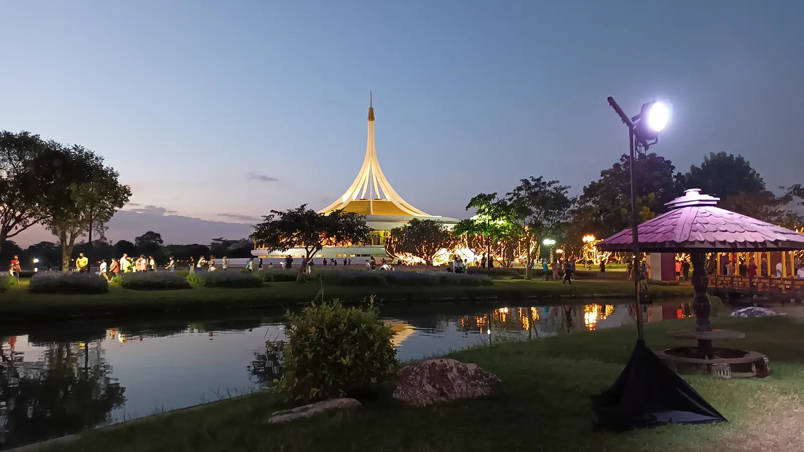
Eastern Bangkok offers a different bargain. Suan Luang Rama IX is a large botanical and public park. Nearby Nong Bon Lake Sports Center adds a lake, a cycling route, dog exercise areas, and water-sports facilities according to Bangkok’s official park directory.
This area may suit cyclists, families, dog owners, gardeners, and residents who want broad open space. It also shows why a citywide park ranking can be misleading: access can matter more than size.
The best surrounding areas
Prawet and the Srinagarindra corridor offer the most logical proximity. The Yellow Line improves regional rail access, but the final trip to a particular gate still needs testing.
Parts of Bang Na and Udom Suk can provide access by road while maintaining BTS connections elsewhere. The quality of that arrangement depends on the exact soi, traffic, and whether the household drives.
Housing around the parks may offer larger condominiums or houses, quieter compounds, and more parking than central districts. It may also place everyday errands, work, schools, and hospitals farther apart.
If this park system drives the move, test it with the transport you will actually use. A Sunday taxi ride proves little about a Tuesday evening after rain.
Smaller parks may be more practical for daily use
Bangkok’s famous parks deserve attention, but a smaller local park may serve daily life better.
Examples include:
- Santiphap Park for parts of Victory Monument and Rang Nam;
- Chulalongkorn University Centenary Park for Sam Yan and the Banthat Thong area;
- Rommaninat Park and Saranrom Park for parts of the Old Town;
- Rama VIII Park for riverside exercise in Bang Phlat;
- smaller “15-minute” parks and district facilities across the city.
Confirm management, operating hours, exercise rules, lighting, bathrooms, current construction, and safe access. Some green spaces are designed for quiet sitting. Others support running, courts, equipment, dogs, or cycling. The word “park” says very little about which activities are actually supported.
Heat and air quality belong in the housing decision
Bangkok’s outdoor routine changes with the season.
Heat and humidity can make midday exercise unsafe or miserable. Early mornings and evenings are popular for good reason. New arrivals should increase duration gradually, carry water, and learn how their body responds rather than copying a local runner’s pace on day three.
Seasonal PM2.5 can make outdoor exercise a poor choice even when the sky looks ordinary. Use Bangkok’s AirBKK data and health guidance. People with asthma, cardiovascular conditions, other respiratory risks, or strong pollution sensitivity should compare neighborhoods partly by the indoor exercise alternatives available nearby.
Rain creates another test. Check drainage at the home, park gate, crossings, and route. A building with a strong gym and covered access may preserve the routine when the park is unpleasant.
Pets, bikes, courts, and facilities require separate research
Park rules differ. Bangkok identifies registered dog-park areas at selected parks, including Benjakitti, Lumphini, and Wachirabenchathat. Registration and leash requirements apply. Other parks prohibit pets.
Cycling may be restricted to certain paths or hours. Courts, pools, sports centers, lockers, boats, and equipment can have separate operating rules, registration, maintenance periods, or fees.
Before signing a lease, verify:
- whether your activity is allowed;
- the relevant hours;
- registration or membership;
- equipment and changing facilities;
- pet requirements;
- lighting and personal comfort after dark;
- closures during events, renovation, or severe weather.
Official pages are the starting point. An in-person visit reveals whether the facility works for you.
The park-radius housing test
Use this test for every proposed home.
Visit at your real exercise hour
An 11 a.m. property tour tells you very little about a 6 a.m. running route or a 7 p.m. walk.
Enter through the gate you will use
Measure lobby to gate, gate to preferred route, and the return. Large parks punish vague distance estimates.
Complete the actual activity
Run the intended distance. Take the child to the playground. Bring the bicycle by the route you expect to use. Test the dog-registration process.
Add one ordinary errand
Buy groceries or dinner on the way home. The best location joins exercise to the rest of the week.
Repeat in bad conditions
Try heat, darkness, rush hour, or rain. A location earns its value on difficult days.
The final decision
For central access and a powerful social exercise culture, choose the correct side of Lumphini.
For the widest range of central outdoor experiences, explore the neighborhoods around Benjakitti and verify the nearest gate.
For a compact park inside a polished, transit-connected daily routine, Phrom Phong and Benjasiri are hard to beat.
For shade, cycling, gardens, and family space in the north, the Chatuchak network deserves a full neighborhood test.
For large-scale parks and eastern Bangkok living, Suan Luang Rama IX and Nong Bon can be exceptional when road transport fits the household.
The best park is the one that survives your actual week. Choose the route, the gate, and the routine. Then choose the home.